KenAgri uses AI to help farmers and agricultural businesses understand crop health, identify potential pest and disease problems, predict yields and make smarter irrigation decisions.
By bringing together available satellite imagery, drone images, ground sensors and weather data, KenAgri turns field information into practical insights that help you manage your crops with greater confidence.
AI agriculture solutions for crop monitoring, precision farming and smarter resource management.
North Farm · Crop health mapLive
Lower crop healthHigherSoil sensorFlagged area
Avg crop health
0.78
↗ 0.03vs last week
Soil moisture
31%
↘ 4 ptsthis week
Inspect
Block C3 health dropped to 0.64 with low soil moisture.
Illustrative field map and example data
From above the field
See every field at a glance.
Drone and satellite imagery become field zones with health scores, so you know where to walk first.
Block A · HealthyBlock C · Water stress
The problem
Your Crops Tell a Story. Are You Seeing the Early Signs?
A healthy-looking field doesn't always tell the whole story.
Water stress, nutrient deficiencies, pests and diseases can develop across different parts of a farm, sometimes before the symptoms become obvious.
Checking every field manually takes time, and decisions based on limited information can lead to unnecessary resource use or missed warning signs.
KenAgri helps you understand what's happening across your fields using AI-powered crop monitoring and agricultural data analytics.
Crop problems going unnoticed?Monitor crop conditions and identify areas that may need closer inspection.
Not sure when to irrigate?Use available soil moisture, weather and crop information to support irrigation planning.
Uncertain about your upcoming harvest?Use yield prediction to help estimate potential production and plan ahead.
Pests or diseases spreading across fields?Identify potential problem areas earlier and prioritise field inspections.
Managing multiple fields or large estates?Bring available field data into one view to understand conditions across different areas.
Features
Everything You Need to Understand Your Fields Better
KenAgri combines AI crop monitoring, predictive analytics and agricultural data to help you make informed decisions throughout the growing season.
Block A · Healthy
01
AI Crop Health Monitoring
Know which parts of your field need attention.
Analyse available satellite and drone imagery to monitor crop conditions across different field areas. Identify unusual patterns and potential signs of crop stress so you can prioritise inspections and take action where needed.
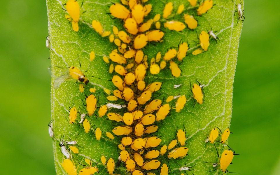
Aphids · 94%
02
AI Pest & Disease Detection
Spot potential crop problems earlier.
Use AI to analyse available crop imagery and sensor data for patterns associated with potential pests, diseases and crop stress. Identify areas that need closer inspection and help your team investigate problems before they spread further.
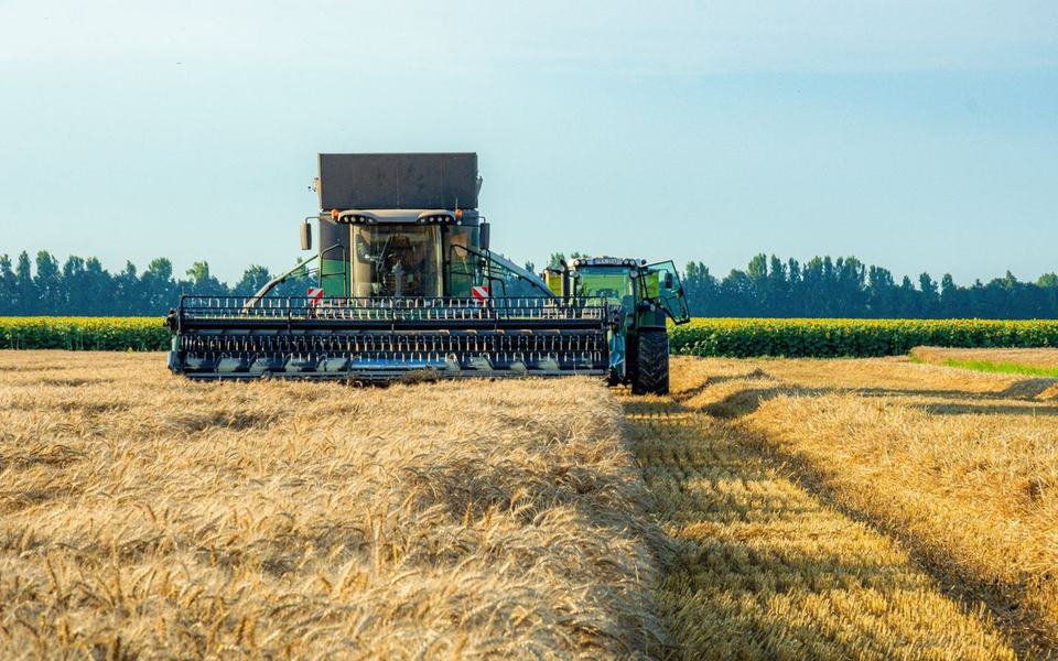
Combine
03
Crop Yield Prediction
Plan ahead with a clearer picture of your harvest.
Use available crop health information, historical yield records, weather conditions and other field data to estimate potential harvest output.
Yield predictions can help agricultural businesses plan harvesting, labour, storage, transport and market supply more effectively.
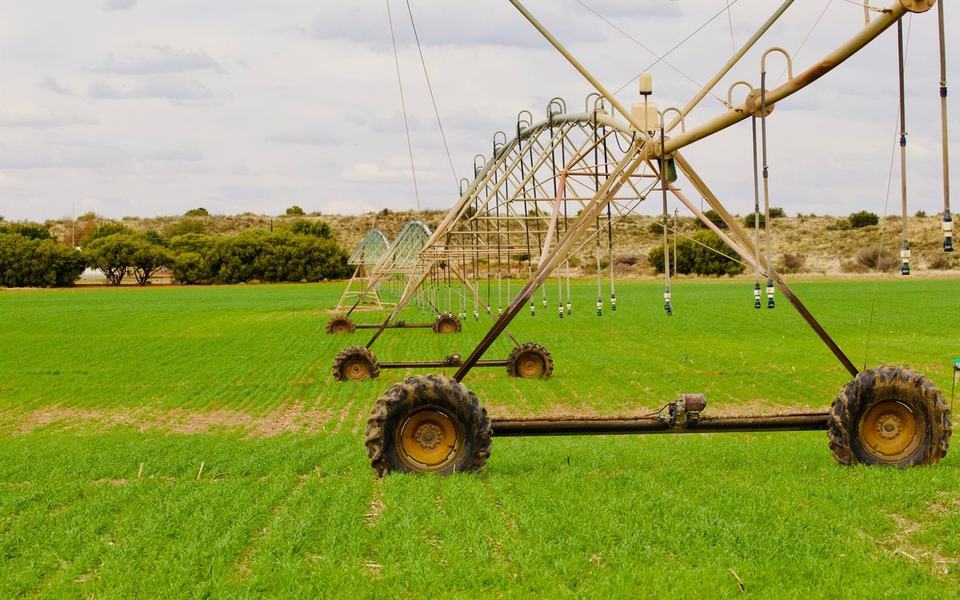
Zone 3 · Irrigating
04
Smart Irrigation Management
Give your crops water based on what they need.
Use soil moisture readings, weather information and crop requirements to support irrigation planning. Where compatible sensors and irrigation equipment are integrated, KenAgri can support automated irrigation workflows.
For farms without connected irrigation hardware, available insights can help guide manual watering schedules.
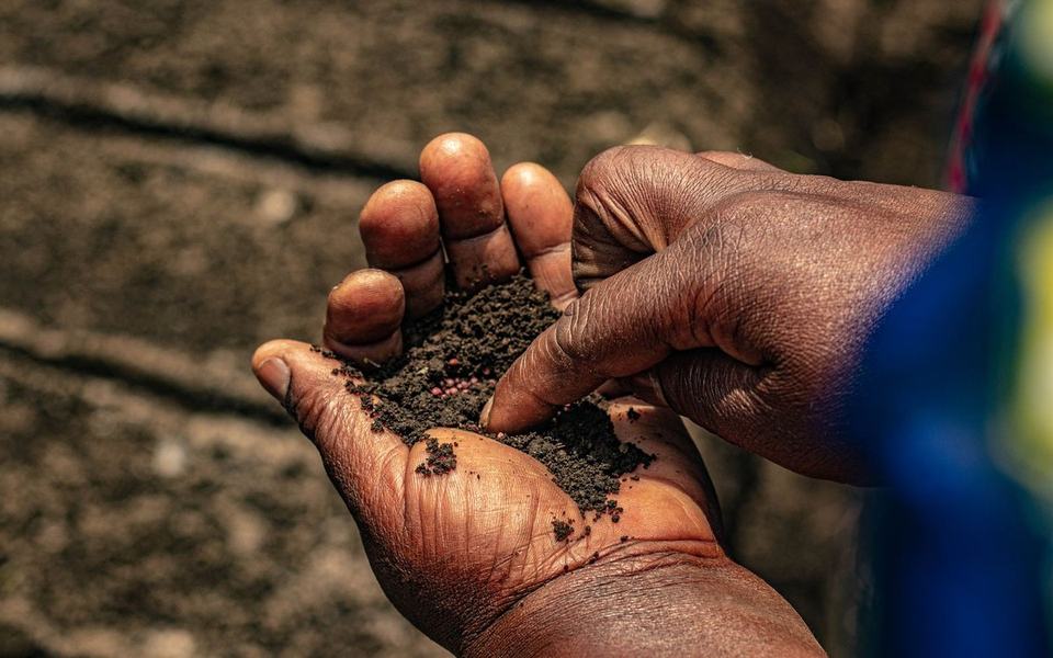
Moisture 31%
05
Soil & Weather Analytics
Understand the conditions shaping your crops.
Bring together available soil, temperature, moisture and weather data to understand how growing conditions change across your fields.
Use these insights to support irrigation planning, crop care and decisions about field management.
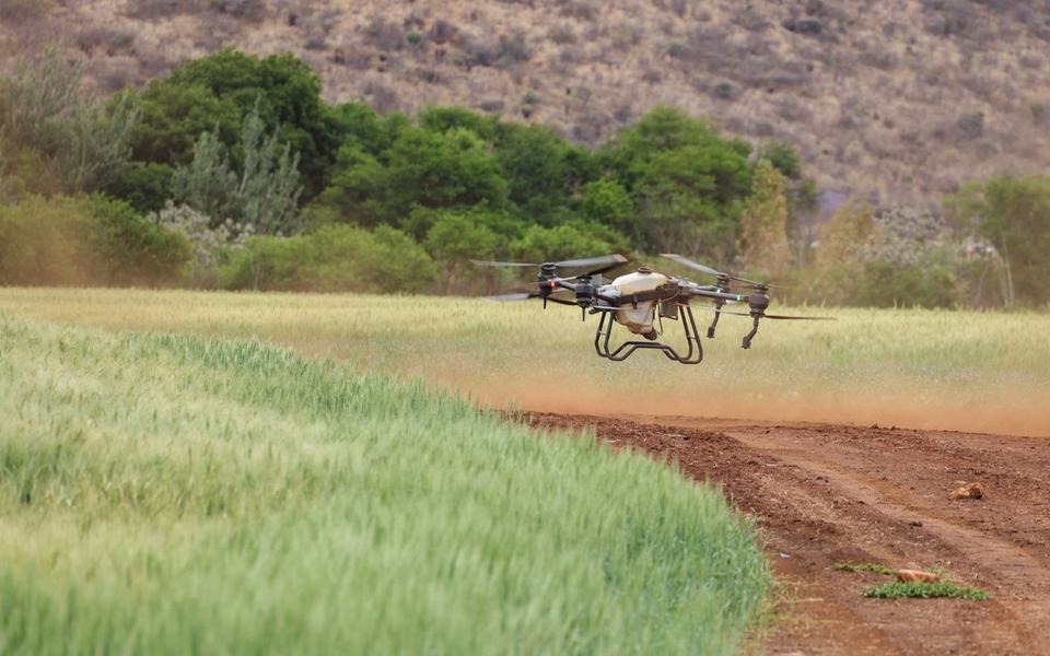
Drone · 42 m
06
Satellite & Drone Crop Analysis
Monitor more land without checking every field on foot.
Use satellite imagery and drone-based crop analysis to assess large areas, identify unusual patterns and focus field visits where they are most useful.
Combine aerial observations with ground-level data for a more complete understanding of crop conditions.
How it works
From Field Data to Better Farming Decisions
KenAgri brings available agricultural data together and turns it into insights you can use.
01
Connect Your Field Data
Bring in available satellite imagery, drone images, ground sensor readings, weather information and historical farm records. The data sources used depend on your farm and deployment setup.
02
Let AI Analyse Your Crops
AI analyses the available information to identify crop stress patterns, potential pest and disease risks, changing field conditions and factors that may affect yield.
03
Get Insights for Your Next Step
Review crop health information, yield estimates and irrigation recommendations through available dashboards, reports and alerts. Use these insights to prioritise inspections and plan field operations.
04
Monitor and Adjust Throughout the Season
Continue reviewing field conditions as new imagery and data become available. Use updated insights to support decisions as your crops grow and conditions change.
Precision Agriculture for Different Crops and Growing Environments
Every crop has different needs. KenAgri helps agricultural businesses use available field data to monitor crop conditions and make better-informed decisions across different farming environments.
Row Crops
Monitor crops such as wheat, corn, soybeans and other field crops. Identify areas showing signs of stress and support decisions about irrigation, crop care and input planning.
Horticulture & Orchards
Monitor crop conditions across orchards, fruit farms and horticultural operations. Identify areas that may require closer inspection and track changes throughout the growing season.
Plantation Agriculture
Support monitoring across large tea, rubber, palm oil, cocoa and other plantation estates. Compare conditions across field blocks and prioritise areas that need attention.
Paddy & Rice Farming
Use available water-level, soil moisture, weather and crop information to support water management and monitor changing field conditions throughout the growing cycle.
Greenhouses & Protected Cultivation
Monitor available environmental and crop data across greenhouse operations. Support decisions around irrigation, growing conditions and potential pest or disease concerns.
Farms and agriculture
See how Intelense supports agricultural businesses across the platform.
A Field Can Look Fine from a Distance and Still Need Attention.
Imagine you manage a large farm. Most of your crops appear healthy, but a section of the field is receiving less water than expected.
Without detailed field information, the issue may go unnoticed until the crops begin showing visible signs of stress.
With KenAgri, available satellite or drone imagery and ground sensor data can help identify unusual patterns in that section.
Your team can then inspect the affected area, investigate the cause and decide whether irrigation or another corrective action is needed.
The same approach can help you monitor potential pest and disease concerns, compare crop conditions across fields and plan for the upcoming harvest.
Instead of treating every part of the farm the same way, use field-level insights to focus attention where it matters most.
Soil moisture · last 14 days
Imagery flags block C3Crop health in one section falls below the field average.
Flagged
Sensors confirm low moistureSoil moisture in C3 drops below the irrigation threshold.
Alert
Team inspects and adjusts irrigationSection C3 added to the next watering schedule.
Action
Illustrative example and data
Why KenAgri?
Less Guesswork. More Informed Farming Decisions.
A Clearer Picture of Crop Health
Understand field conditions through available imagery and sensor data instead of relying only on occasional visual inspections.
Earlier Visibility into Potential Problems
Identify unusual crop patterns and potential stress indicators so your team can investigate areas that may need attention.
Better Use of Water and Other Resources
Use available soil, crop and weather information to support irrigation planning and field management decisions.
Plan for the Harvest
Use yield estimates and crop monitoring insights to support harvesting schedules, labour planning and supply preparation.
Monitor Large Areas More Efficiently
Bring information from multiple fields or farm blocks into a central view and prioritise inspections where they are most useful.
Adapt as Conditions Change
Review updated field information as new data becomes available and adjust farm management decisions throughout the growing season.
FAQ
Frequently asked questions
What is precision agriculture?
Precision agriculture uses data, technology and field-level analysis to help farmers manage crops and resources more effectively. It can include satellite imagery, drones, soil sensors, weather data and AI.
Related modules
Works well with.
Modules share one engine and dashboard, so they combine easily.
Predictive monitoring
Turns data from connected sensors and equipment into real-time monitoring, anomaly detection and predictive maintenance insights.
Turns your existing CCTV cameras into business intelligence. Track footfall, customer movement, dwell time and queues without manually reviewing footage.




 Block A · Healthy